Case 03 · Sichuan
Chengdu and west Sichuan in ten days
Two travellers, ten days, and a route where the hard part is not the driving — it is that the best of it sits higher than most visitors are ready for on day two.
- Days
- 10 days, 9 nights
- Route
- Chengdu, Siguniang, Danba, Tagong, Xinduqiao
- Best months
- May–June, September–October
- Planning fee
- 199 USD
The traveller
Jonas
“The mountains west of Chengdu, no permit, ten days. I have never slept above two thousand metres.”
What they asked for
- Sichuan's mountains, without a Tibet permit.
- Ten days, with flights in and out of Chengdu included.
- No altitude experience — and a real fear of losing a day to it.
How we planned it
The distance is nothing, about 1,200 kilometres. The problem is that half of it is above 3,000 metres and the most photographed places sit highest. So the route was built around sleep rather than around the map: up in steps, down whenever the next climb needs it.
Chengdu at 500, Rilong at 3,200, down to Danba at 2,000 for a real night, then Tagong at 3,700, Xinduqiao at 3,300, Kangding at 2,600. No two high nights in a row, and every long drive placed after an acclimatisation day rather than before it.
What we left out, and what replaced it
| Left out | Instead |
|---|---|
| Straight up to 3,200 on the first night | A night at 500 in Chengdu first, then the climb |
| Tagong on day three, at 3,700 | Danba at 2,000 in between, for one real sleep |
| Hailuogou fixed to a date | A written plan B, decided on the morning |
The route
- 1Chengdu500 m · pandas, tea, early night
- 2Rilong3,200 m · first climb
- 3Danba2,000 m · down to sleep
- 4Tagong3,700 m · grassland at dusk
- 5Xinduqiao3,300 m · short hop
- 6–7Kangding2,600 m · hot spring, rest day
- 8–10Chengdu500 m · downhill all the way
Why this route, and what it costs in hours
The distance is not the problem: about 1,200 kilometres in ten days is a relaxed drive. The altitude is the problem. The most photographed places on this loop sit between 3,200 and 3,700 metres, and a body that flew in from sea level two days earlier has not made a red blood cell for any of it yet.
So the route is built around where you sleep, not what you see. Chengdu at 500 metres, Rilong at 3,200, down to Danba at 2,000 for a real night, then Tagong at 3,700, Xinduqiao at 3,300, Kangding at 2,600 — no two high nights in a row, and every long drive placed after an acclimatisation day rather than before it.
That is also the answer to why ten days and not seven. A seven-day version of these stops climbs faster than a body adjusts, and the day it saves is the one spent at Kangding doing nothing except sleeping low. With Hailuogou's road opening and closing on the weather on top of that, the fee buys the thing that matters: someone to re-plan the day over breakfast.
Day by day
Chengdu: pandas, tea, and a room worth the money
Pandas at opening, when they are awake and the light is behind you. The rest of the day is a teahouse in People's Park and an early dinner — the last easy night for a week, and it is on purpose. The hotel earns its price here more than anywhere else on the route: nine of the next ten nights are at altitude, and this is the one with a bath and a blackout curtain.
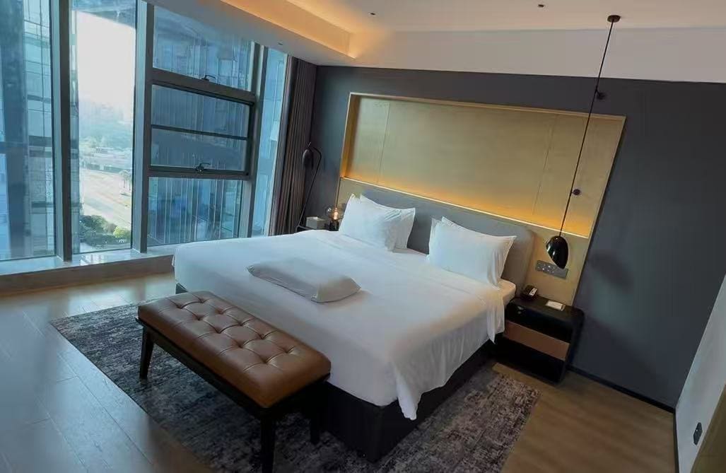
The first night's room, and the last proper bath for a week. 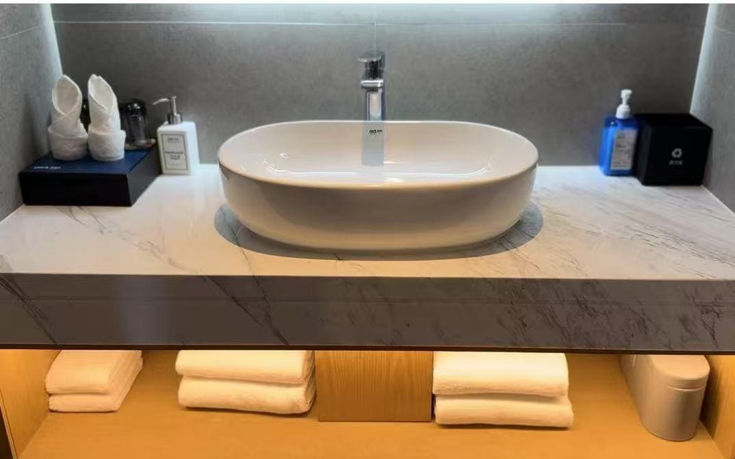
Chengdu to Siguniang, up to 3,200
Four hours west through Wenchuan, climbing the whole way. Stop at Balang Mountain pass for the first view of the range, but do not walk far: the pass is 4,500 metres and it is a stop, not a hike. Sleep at Rilong, lower and warmer than the pass.
Siguniang valley, then down to Danba
The Changping valley walk is flat and takes three hours at a slow pace, which is what day three should be. Then descend to Danba at 2,000 — the drop is the point, because it buys a night of real sleep before the next climb.
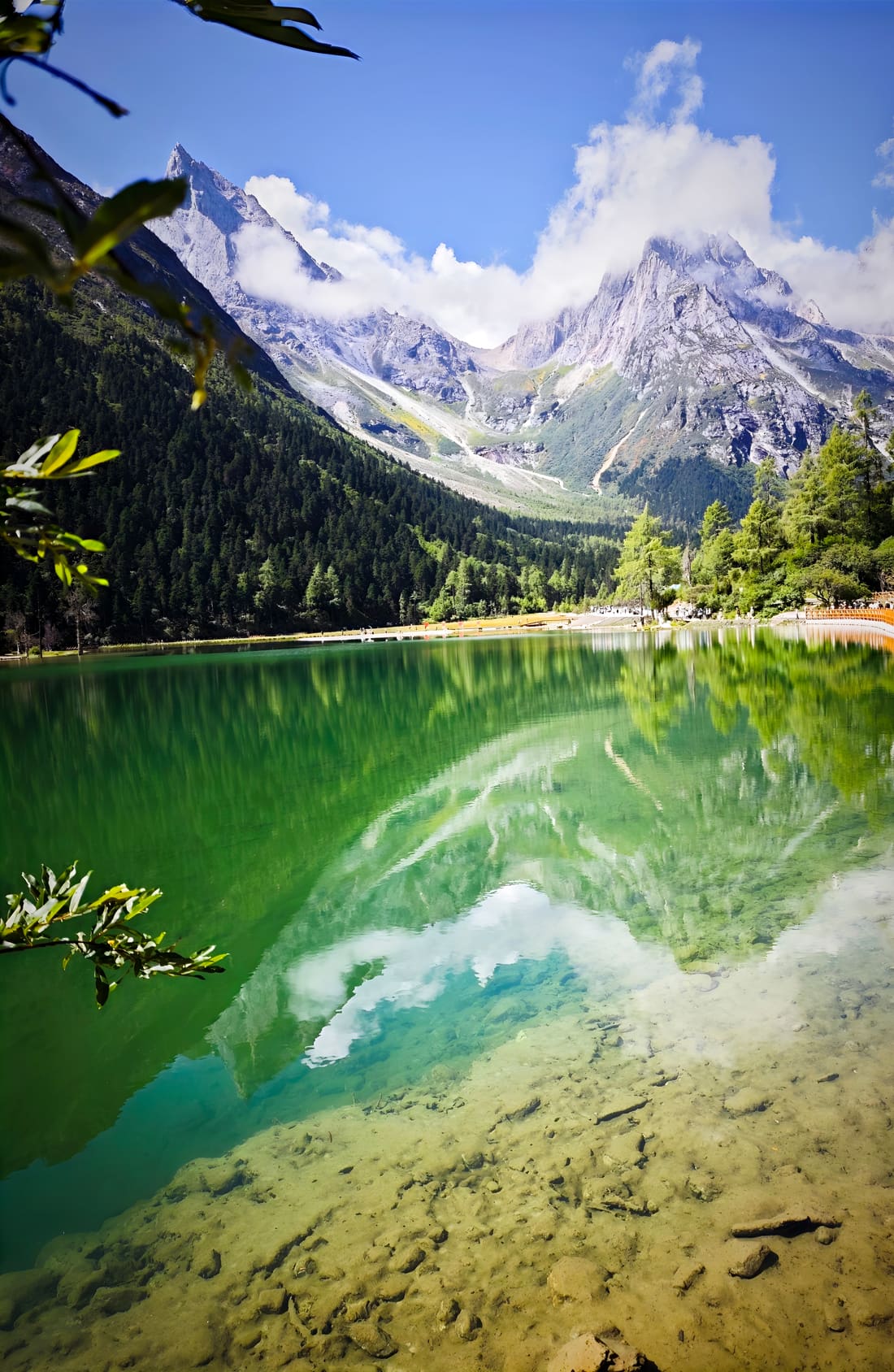
Changping valley: the water is green because it is shallow and cold, and the peaks arrive in the reflection before they do in the flesh. 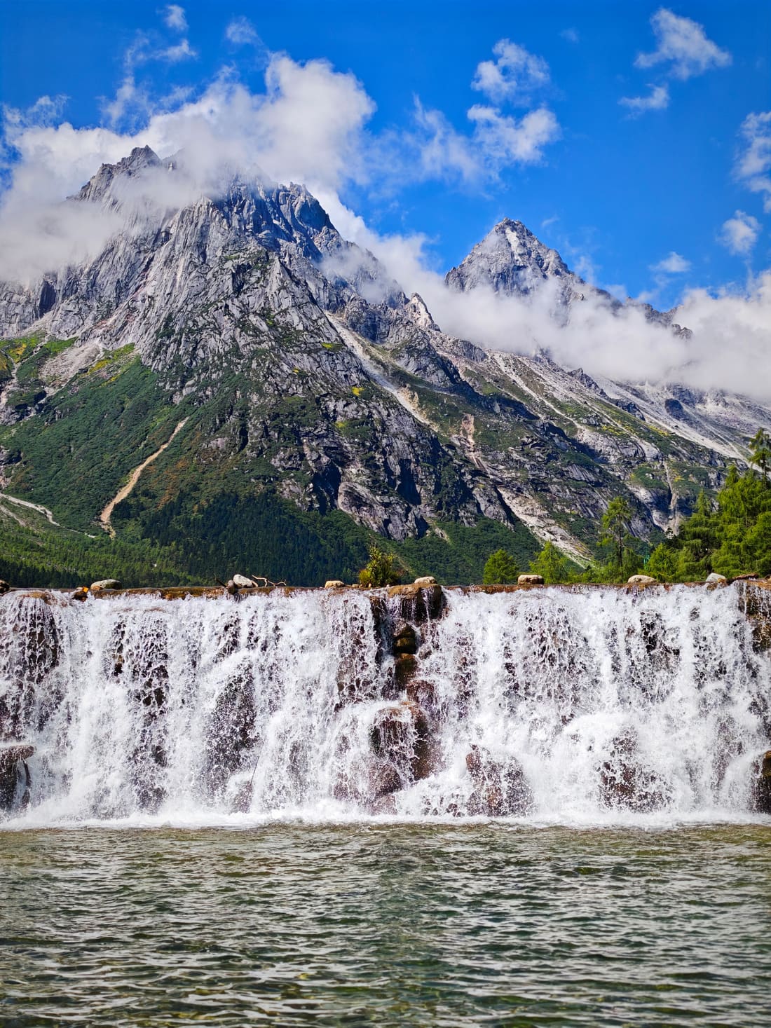
Danba's watchtowers, then Tagong
The stone towers at Suopo are a thousand years old and nobody agrees what they were for. Then north to Tagong at 3,700, arriving before dark: the grassland at dusk, monastery and mountains behind it, is the photograph this trip exists for. The marmots on the way up are tame enough to be a nuisance, and they are the reason to keep the car window open.
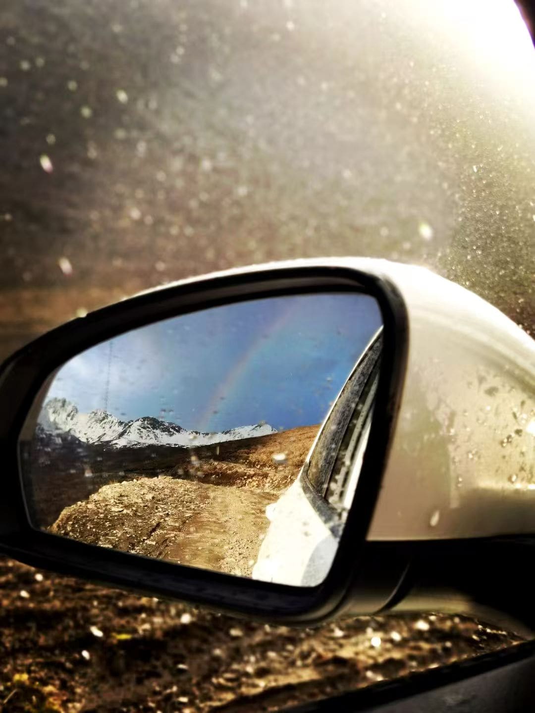
A shower passed, the road emptied, and the rainbow turned up in the wing mirror instead of the sky. 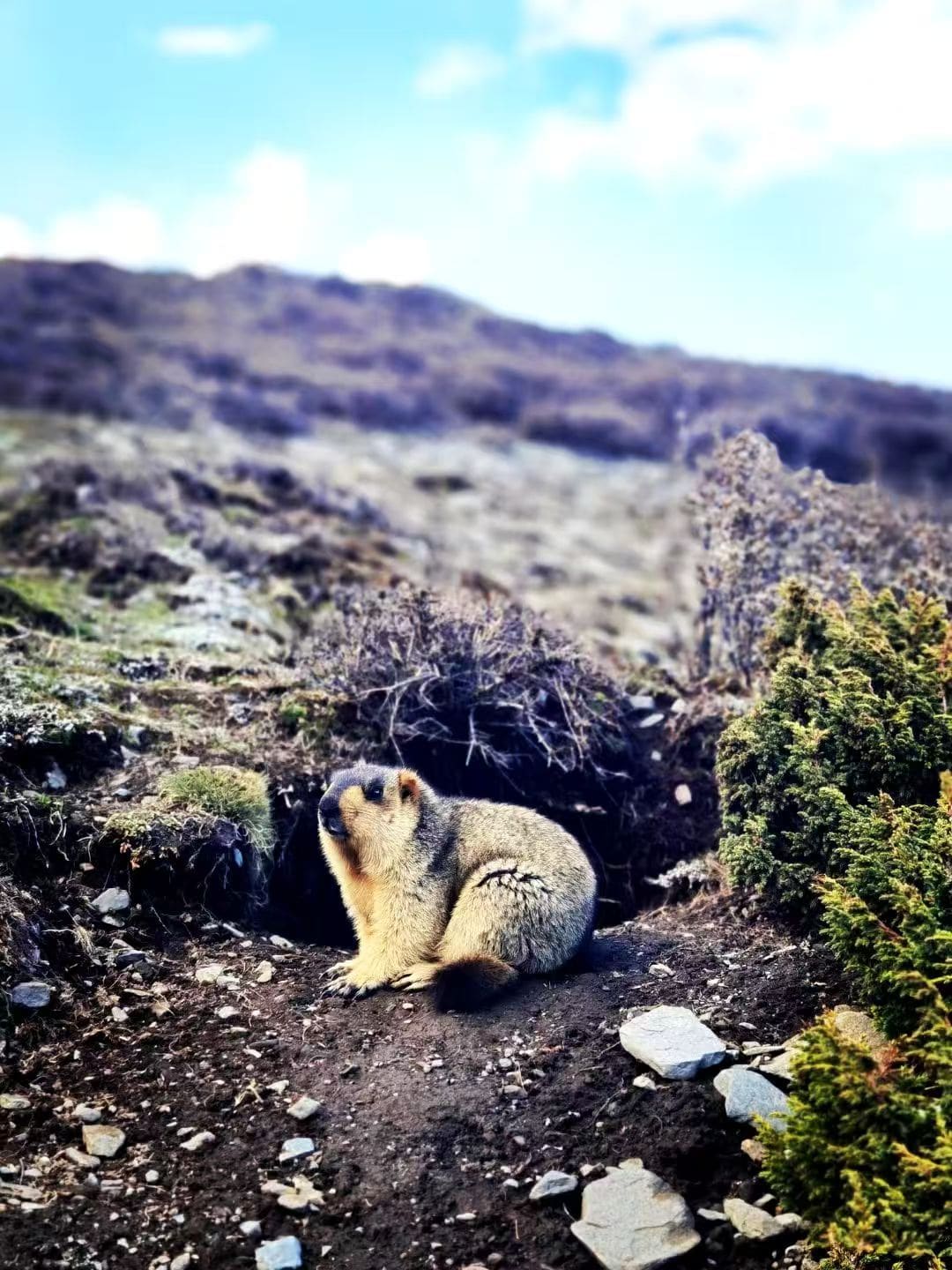
Tagong to Xinduqiao, slowly
Two hours of the best road in the region, with a stop at the grasslands and the prayer flags on the hill. Xinduqiao is 3,300 and is a village strung along one road; past the flags there is a pull-off where a flask of coffee and a ridge of snow are the whole afternoon.
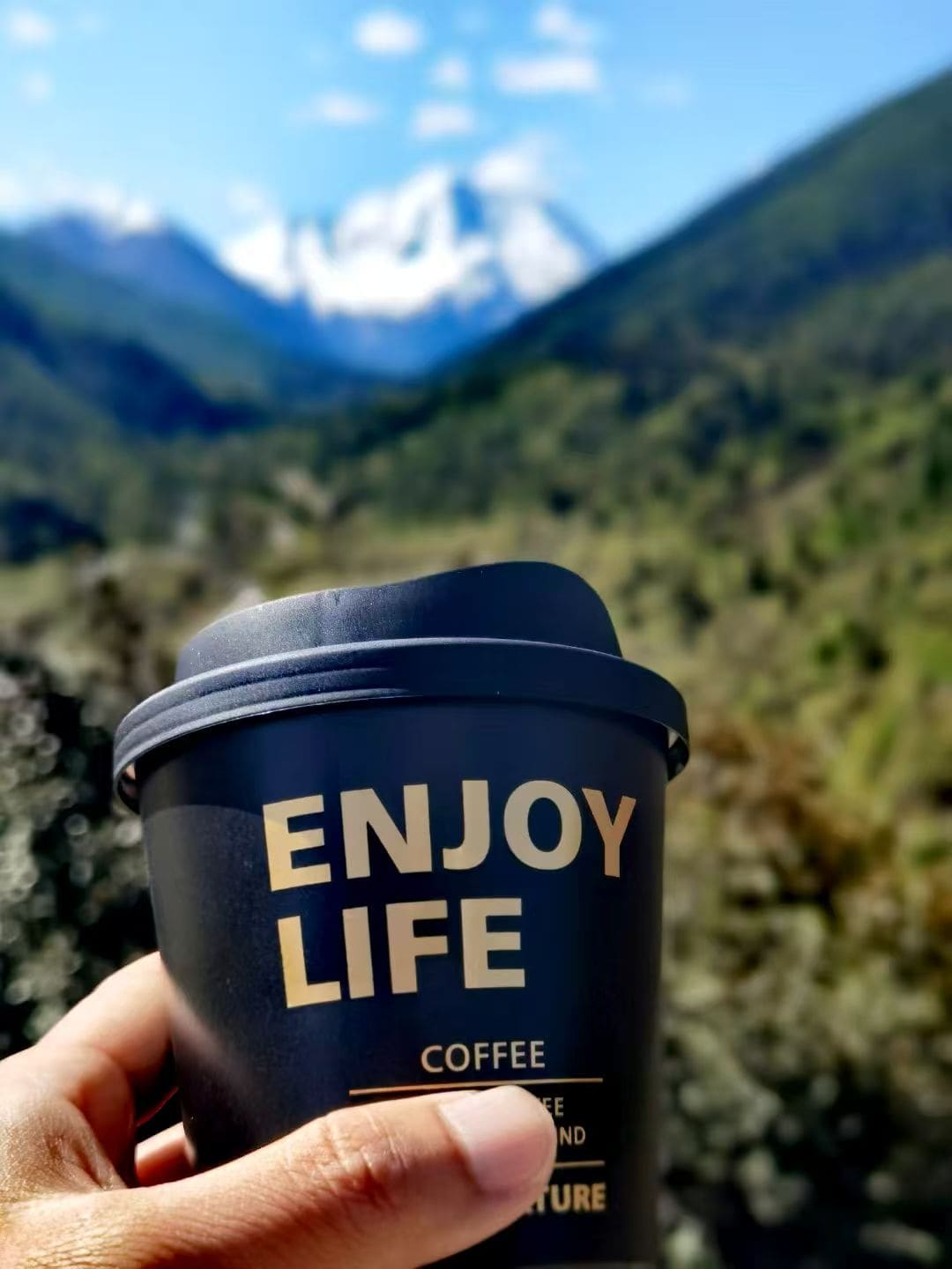
Coffee out of a paper cup, snow on the ridge behind it, and nothing on the schedule until dinner. Xinduqiao to Kangding, and a hot spring
The short hop down to 2,600 — the road is the reason this plan works, because it lets a ten-day trip sleep low every third night. Afternoon in the hot spring, dinner early.
Mugecuo, then a rest day in Kangding
Mugecuo is half an hour out of town: a lake at 3,700 with a hot spring at the bottom of it and, from late May, azaleas all the way down to the water. Go early, be back for lunch, and keep the afternoon empty — day seven is when people get sick from doing too much at altitude, not too little.
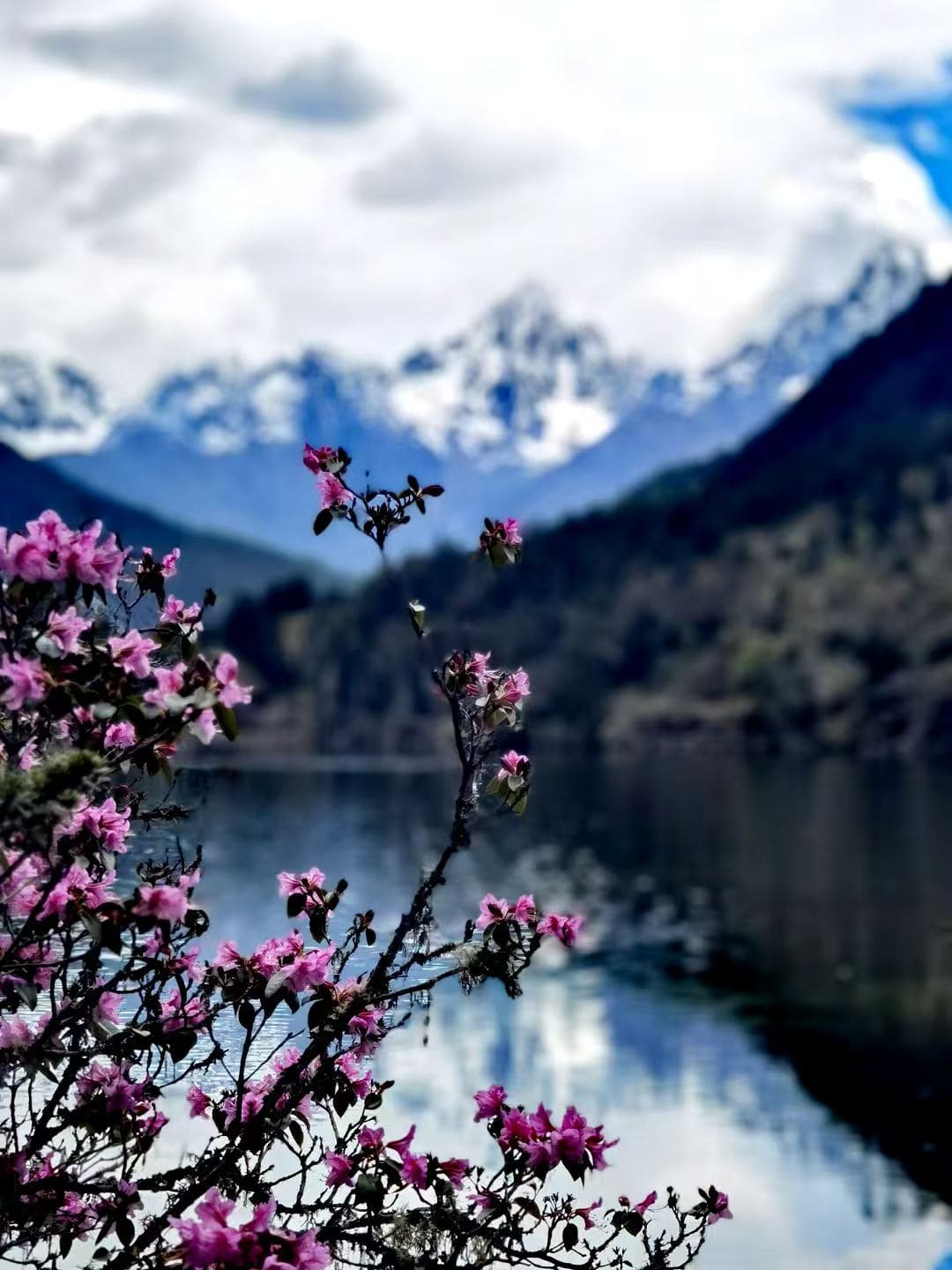
Mugecuo in late May: the azaleas reach the waterline while the snow is still on the far ridge. Kangding to Hailuogou, if the road is open
The glacier valley sits under Gongga, the highest mountain in Sichuan. Road status changes with the season and the weather, so this day carries a plan B written into the document rather than left to the morning.
Back to Chengdu, downhill all the way
Five hours on the expressway, dropping 2,000 metres, which is the pleasant direction. Evening in the city with a proper meal and then a small room with a guitarist in it — Chengdu's bars are the argument for keeping the last night in town rather than at an airport hotel.
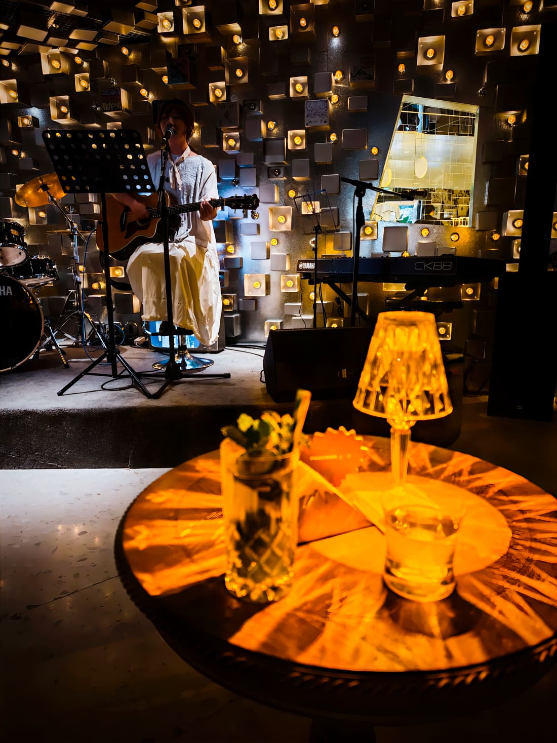
A guitar, a drum kit and a wall of lamps: the last night, at a volume you can still talk over. Fly out, or one more teahouse
If the flight is in the afternoon the morning is yours. We leave it empty, because the last day of a trip like this should not have a monument in it — and if you want to walk somewhere, the new square east of the centre has water and shade and no queue at all.
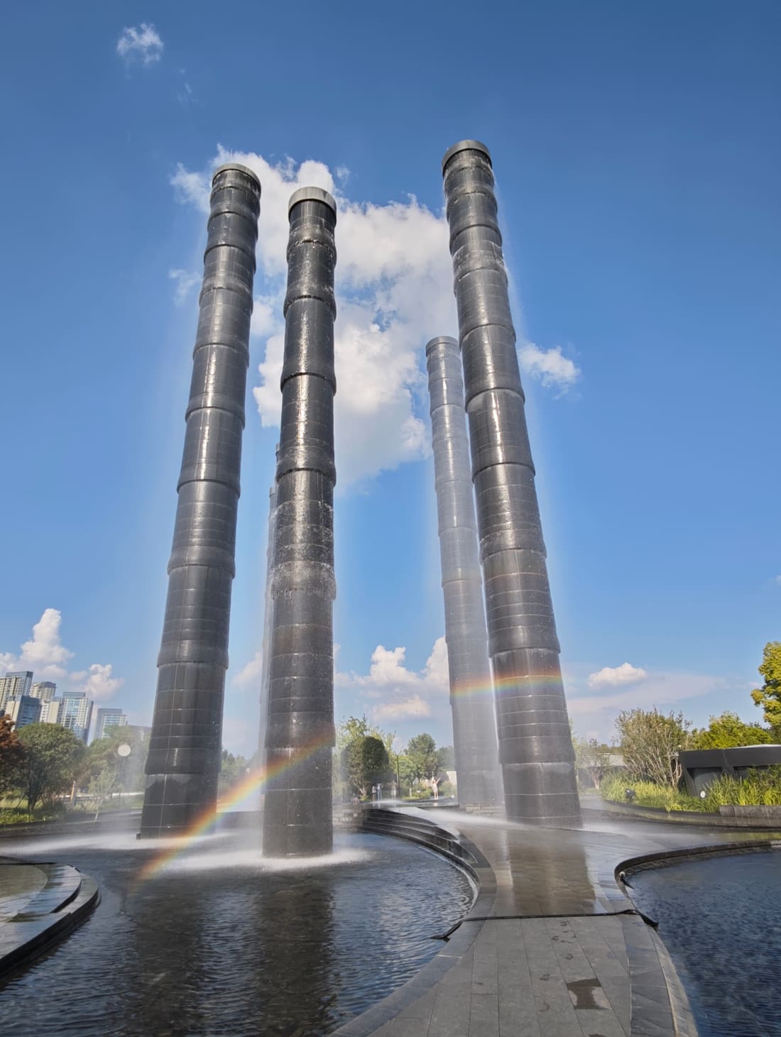
Four columns, a sheet of water, and a rainbow that shows up every sunny afternoon.
What this one cost
Quoted at the 199 USD tier, the one with a call before you go and someone to ask while you are there. On this route that is not a luxury: a closed pass or a road worse than the forecast is normal, and re-planning it on the day is what the fee is for.
What is not in the document
- No permits. This route needs none for foreign travellers, and if a plan of ours ever does, it says so before you pay.
- No driver booked by us. We give you the vehicle type, the daily rate to expect and the two stretches where a local driver is worth the money.
- No medical advice. Altitude affects people differently; we plan the ascent slowly and mark the descent options, and the rest is your doctor's call.
FAQ
Do I need a permit for west Sichuan?
Not for this route. Tagong and Xinduqiao are in Ganzi prefecture and open to foreign travellers; areas further west need permits and we say so when a route crosses into them.
What if I get altitude sickness?
The plan is built so the answer is usually 'drive down' rather than 'cancel the trip' — every high night is followed by a low one, and the two places you can descend from quickly are marked.
Why ten days and not seven?
Because the scenery starts above 3,000 metres and a seven-day version would climb faster than a body adjusts. Seven days here is a tour; ten is a trip.
Plan a trip like thisAll three plans